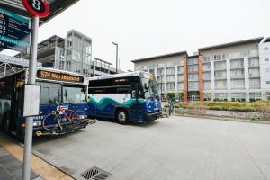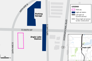
Angle Lake Station TOD - South Site
A developer will construct a mixed-use project providing a minimum of 230 housing units above ground-floor commercial space.
Cedar Crossing
Enhancing the Roosevelt Station area with affordable housing, retail, and public amenities.
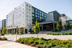
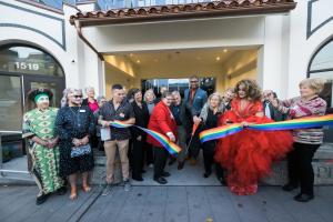
Colina
The project delivered 139 homes, 20 percent of which are affordable through the Multi-Family Tax Exemption Program.

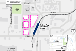
Federal Way Downtown Station TOD
Creating connections between transit and vibrant communities in Federal Way.
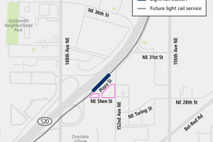
Lynnwood City Center Station TOD
When Lynnwood City Center Station is complete, 1.6 acres of property right next to the future station will be available for transit-oriented development.

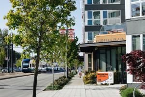
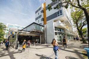
Mercy Othello Plaza
Mercy Othello Plaza is a mixed-use facility located across the street from the Othello Link light rail station.
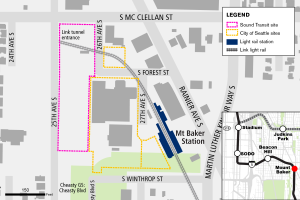
Mount Baker Station TOD - East Portal Site
Partnering with the City of Seattle to foster a vibrant neighborhood.
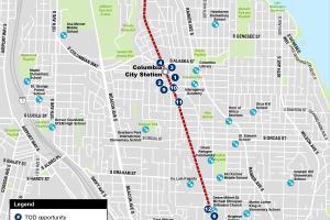
Rainier Valley Homeownership Initiative and Youth Achievement Center
Creating affordable homeownership opportunities and a youth achievement center.